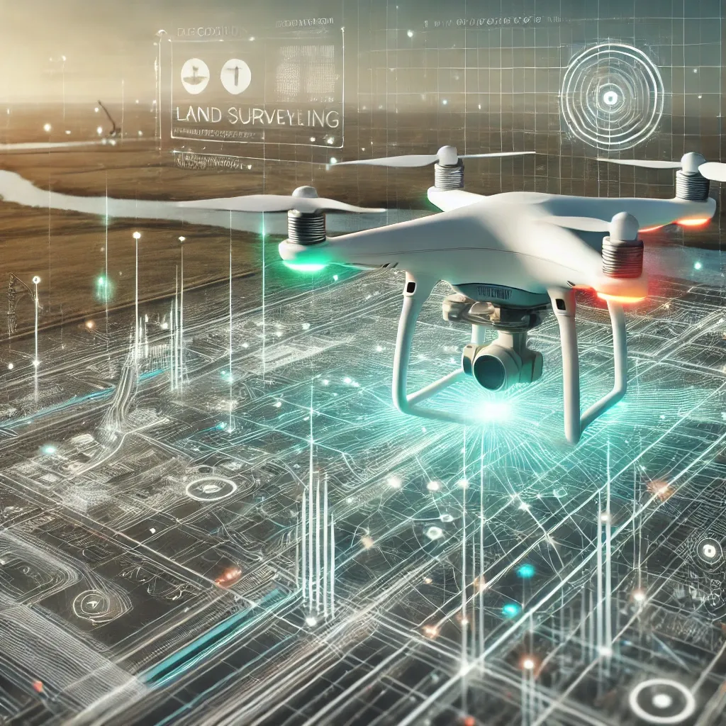
Drones have revolutionized surveying and are setting new standards in the construction industry, especially in terms of speed, efficiency and accuracy. But how precise are drones really, and what factors play a role? Using the DJI Mavic 3E, which we use for our projects, we give an insight into the impressive accuracy that modern drones can achieve.
How accurate is a drone survey?
The accuracy of a drone survey depends on several factors, including
– GNSS systems (satellite navigation): Enable precise location data.
– Camera technology: High-resolution images are crucial for precise models.
– Ground control points (GCPs): These reference points improve relative and absolute accuracy.
With modern technology, accuracies in the sub-centimeter range can be achieved under optimal conditions.
The DJI Mavic 3E: Our drone for precise measurements
The DJI Mavic 3E is specially designed for surveying and mapping projects. Their technical features make them an outstanding choice:
1. High-precision GNSS
The drone has an RTK (Real-Time Kinematic) module that delivers position data with an accuracy of up to 1 cm. Even without additional ground control points, it offers impressive accuracy in the range of 3-5 cm.
2. Camera with global shutter
The integrated camera with 20 MP and global shutter reduces distortion during fast movements. This allows more precise data to be captured for photogrammetric models.
3. Automated workflows
Thanks to the intelligent planning software, the DJI Mavic 3E enables fast and repeatable survey flights that ensure high data consistency.
Practical application: Surveying a construction site
On a recent project, the DJI Mavic 3E was used to survey a 5-hectare construction site. With the help of 5 ground control points and a flight altitude of 100 meters, we were able to create a:
– Horizontal accuracy of ±2 cm
– Vertical accuracy of ±3 cm
achieve. These values exceed conventional measurement methods in terms of efficiency and precision.
The advantages of drone surveying at a glance
1. Time saving: Drones measure in a few hours what could take days manually.
2. Cost reduction: Less personnel and equipment required.
3. Flexibility: Even areas that are difficult to access or dangerous can be measured without any problems.
4. High data density: acquisition of millions of measuring points for detailed 3D models.
Challenges and optimization
Although drone surveying is extremely precise, there are factors that can influence accuracy:
– Weather conditions: Strong winds or rain can impair flight stability.
– Visibility: A clear view is crucial for optimum results.
– Ground control points: The use of additional GCPs can further improve accuracy.
Conclusion
With the DJI Mavic 3E, we rely on a drone that combines state-of-the-art technology with impressive precision. Whether for surveying construction sites, as-built surveys or creating digital twins – drone surveying offers an efficient and accurate solution for the requirements of the construction industry.
Are you interested in precise and cost-efficient surveying? Contact us for a non-binding consultation!

